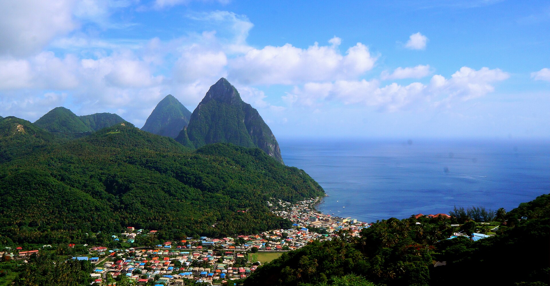
Soufriere
Saint Lucia
Soufriere: facts
At a glance
- Country: Saint Lucia
- Region: Soufrière
- Administrative status: seat of a first-order administrative division (GeoNames code PPLA)
- Population: approximately 2,918
- Coordinates: 13.8562° N, 61.0566° W
- Time zone: America/St_Lucia (UTC-04:00)
- Currency: Dollar (XCD)
- Distance to the capital, Castries: 16 km (10 mi), straight line
Getting there
- Hewanorra International Airport (UVF): 18 km (11 mi), straight line
- George F. L. Charles Airport (SLU): 19 km (12 mi), straight line
- Argyle International Airport (SVD, Saint Vincent and the Grenadines): 78 km (49 mi), straight line
Nearby
- La Pearle: 0.7 km (0.4 mi)
- Ruby: 0.8 km (0.5 mi)
- Palmiste: 1.0 km (0.6 mi)
- Mamin: 1.6 km (1.0 mi)
- Malgretoute: 1.7 km (1.1 mi)
- Nearest place with over 100,000 inhabitants: Carupano, 428 km (266 mi)
Map