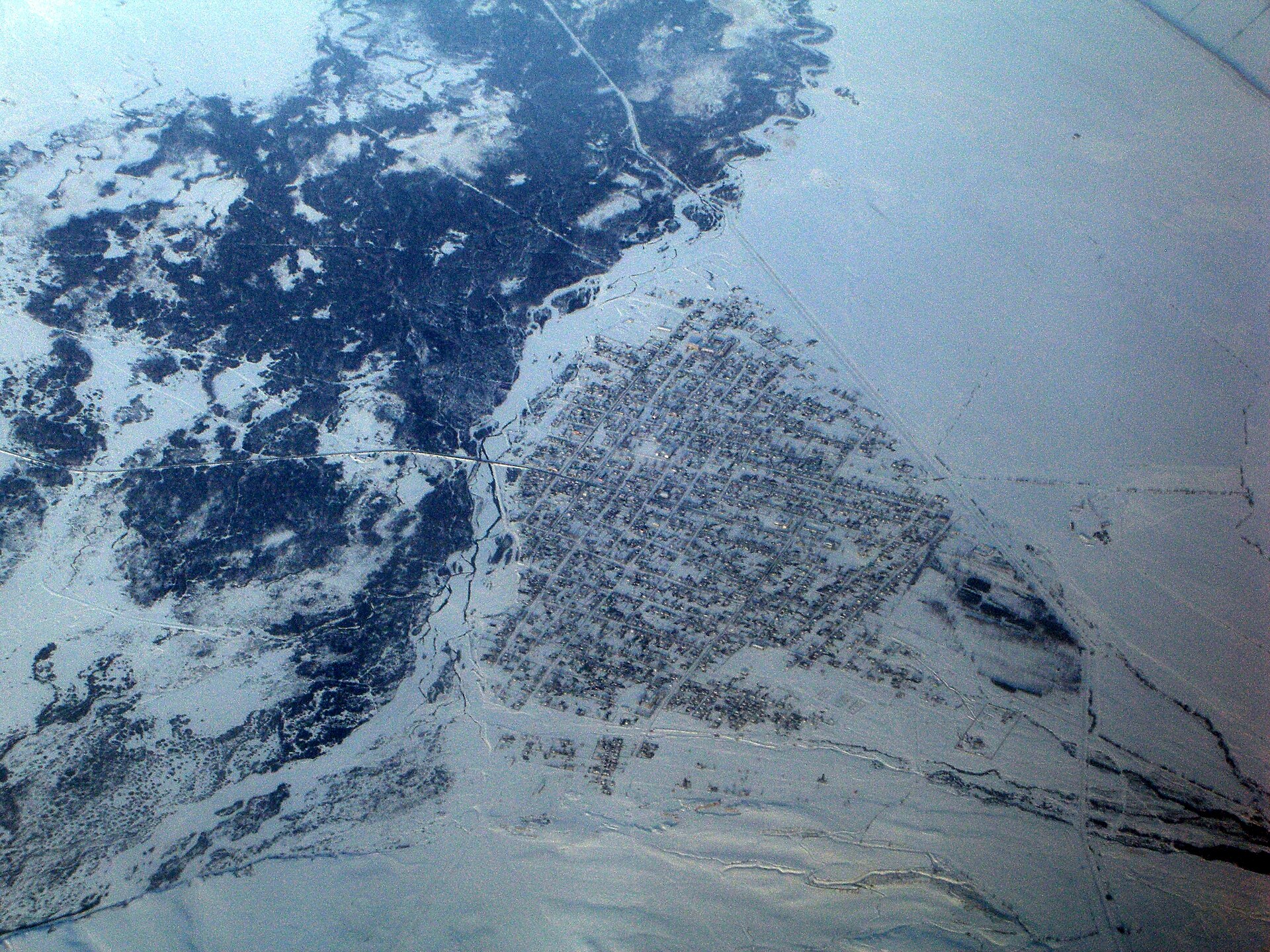
Narynkol
Kazakhstan
Narynkol: facts
At a glance
- Country: Kazakhstan
- Region: Almaty Region
- Administrative status: seat of a second-order administrative division (GeoNames code PPLA2)
- Population: approximately 7,731
- Coordinates: 42.7264° N, 80.1749° E
- Time zone: Asia/Almaty (UTC+05:00)
- Currency: Tenge (KZT)
- Distance to the capital, Astana: 1,148 km (714 mi), straight line
Getting there
- Zhaosu Tianma Airport (ZFL, China): 94 km (59 mi), straight line
- Karakol International Airport (IKG, Kyrgyzstan): 147 km (91 mi), straight line
- Aksu Hongqipo Airport (AKU, China): 163 km (101 mi), straight line
Nearby
- Kegen: 84 km (52 mi)
- Karkara, Kyrgyzstan: 84 km (52 mi)
- Zhaosu, China: 90 km (56 mi)
- Nearest place with over 100,000 inhabitants: Huocheng, 158 km (98 mi)
Sources
- Narynkol
Map