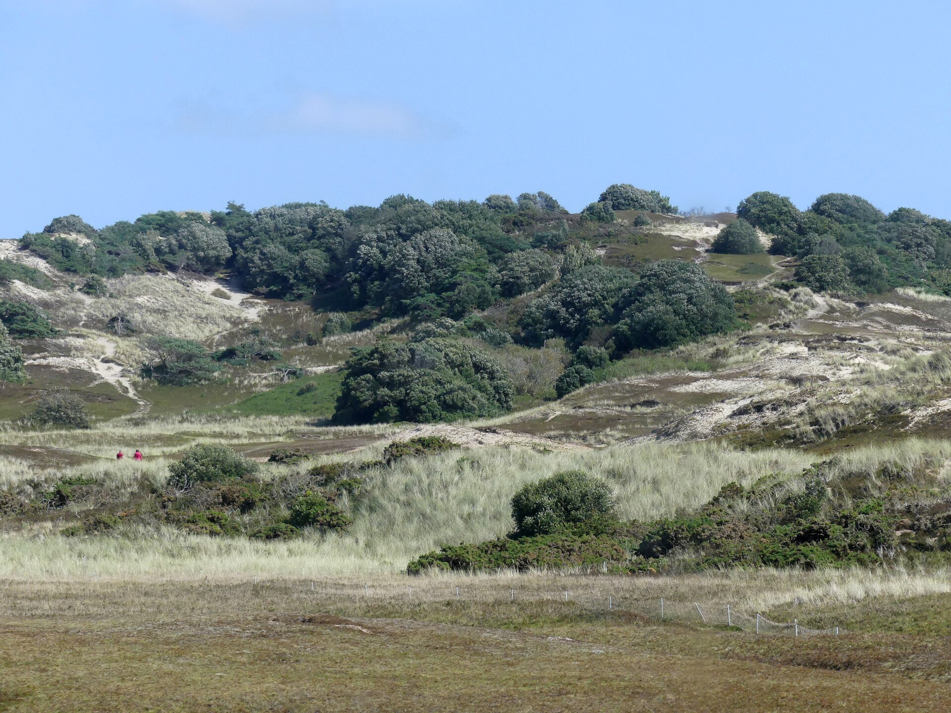
Le Braye
Jersey
Le Braye: facts
At a glance
- Country: Jersey
- Administrative status: populated place (GeoNames code PPL)
- Coordinates: 49.1981° N, 2.2244° W
- Time zone: Europe/Jersey (UTC+00:00 standard, UTC+01:00 daylight saving time)
- Currency: Pound (GBP)
- Distance to the capital, Saint Helier: 8.8 km (5.4 mi), straight line
Getting there
- Jersey Airport (JER): 2.4 km (1.5 mi), straight line
- Guernsey Airport (GCI, Guernsey): 38 km (24 mi), straight line
- Alderney Airport (ACI, Guernsey): 56 km (35 mi), straight line
Nearby
- Le Port: 1.0 km (0.6 mi)
- La Pulente: 1.2 km (0.8 mi)
- St Brelade: 1.6 km (1.0 mi)
- La Moye: 1.8 km (1.1 mi)
- Ville des Quennevais: 1.8 km (1.1 mi)
- Nearest place with over 100,000 inhabitants: Rennes, 127 km (79 mi)
Map