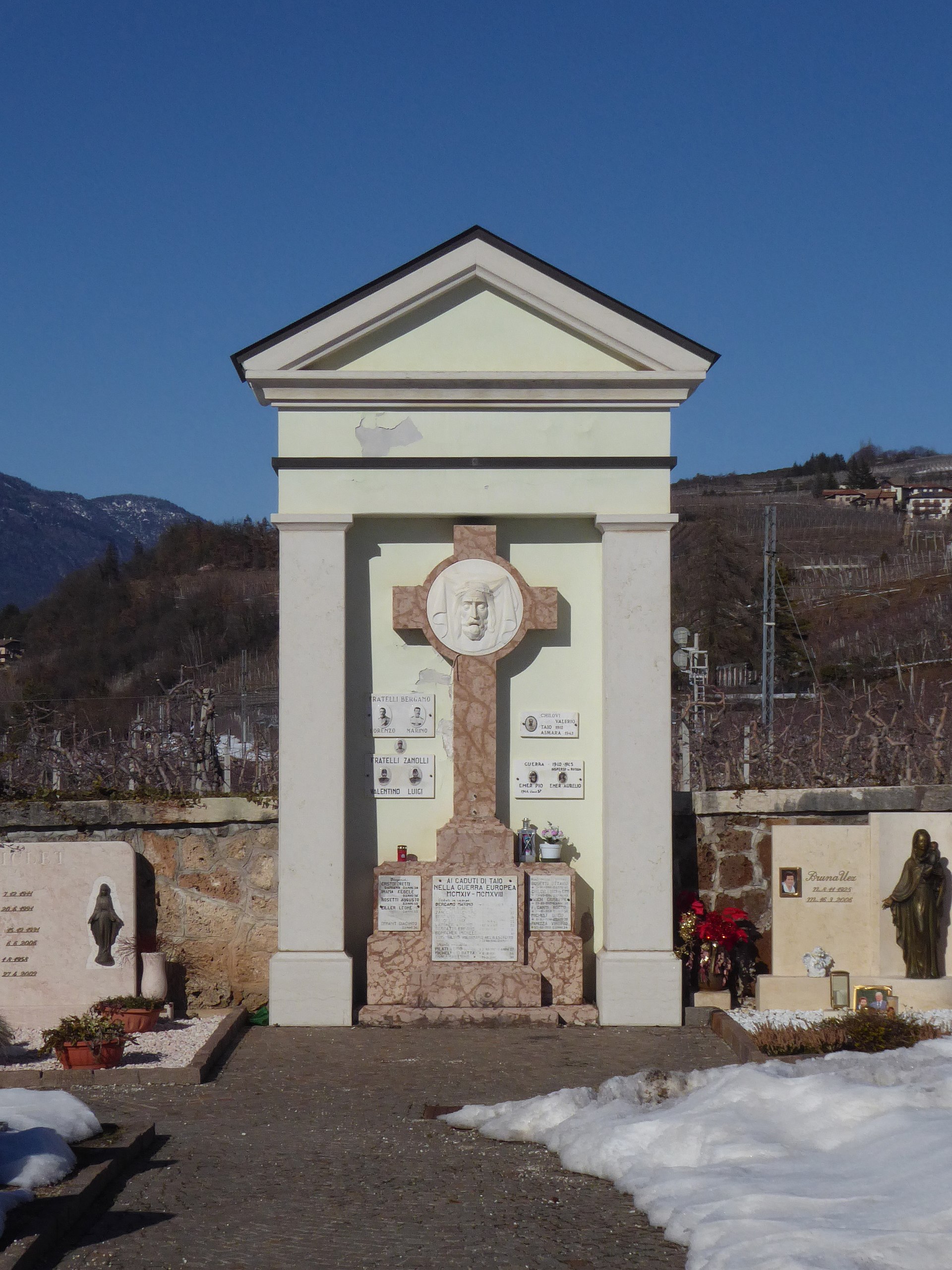
Taio
Italy
Taio: facts
At a glance
- Country: Italy
- Region: Trentino-Alto Adige
- Administrative status: seat of a third-order administrative division (GeoNames code PPLA3)
- Population: approximately 1,306
- Coordinates: 46.3214° N, 11.0662° E
- Time zone: Europe/Rome (UTC+01:00 standard, UTC+02:00 daylight saving time)
- Currency: Euro (EUR)
- Distance to the capital, Rome: 506 km (314 mi), straight line
Getting there
- Bolzano Airport (BZO): 25 km (16 mi), straight line
- Verona Villafranca Valerio Catullo Airport (VRN): 104 km (65 mi), straight line
- Innsbruck Airport (INN, Austria): 107 km (66 mi), straight line
Nearby
- Nanno: 1.6 km (1.0 mi)
- Tres: 2.3 km (1.4 mi)
- Tassullo: 2.9 km (1.8 mi)
- Tuenno: 3.4 km (2.1 mi)
- Terres: 3.6 km (2.2 mi)
- Nearest place with over 100,000 inhabitants: Bolzano, 28 km (18 mi)
Coming up in Taio
- 4 Nov 2026: National Unity and Armed Forces Day (Giornata dell'Unità Nazionale delle Forze Armate)
- 11 Nov 2026: Armistice/Remembrance Day
- 8 Dec 2026: Feast of the Immaculate Conception
- 8 Dec 2026: Feast of the Immaculate Conception
- 25 Dec 2026: Christmas Day
- 25 Dec 2026: Christmas
- 26 Dec 2026: St. Stephen's Day
- 26 Dec 2026: St. Stephen's Day
Map