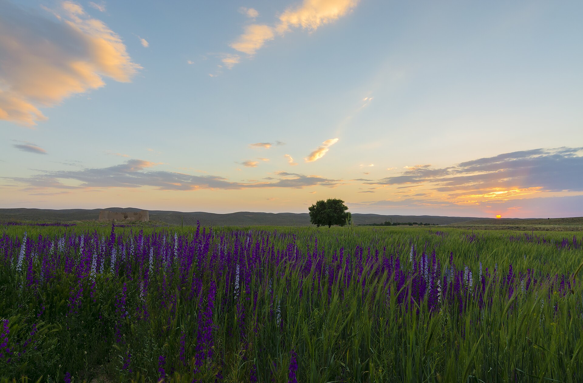
Baft
Iran
Baft: facts
At a glance
- Country: Iran
- Region: Kerman
- Administrative status: seat of a second-order administrative division (GeoNames code PPLA2)
- Population: approximately 34,517
- Coordinates: 29.2331° N, 56.6022° E
- Time zone: Asia/Tehran (UTC+03:30)
- Currency: Rial (IRR)
- Distance to the capital, Tehran: 867 km (539 mi), straight line
Getting there
- Ayatollah Hashemi Rafsanjani International Airport (KER): 120 km (75 mi), straight line
- Rafsanjan Airport (RJN): 130 km (81 mi), straight line
- Bam Airport (BXR): 180 km (112 mi), straight line
Nearby
- Rabor: 31 km (19 mi)
- Darb-e Behesht: 71 km (44 mi)
- Bardsir: 77 km (48 mi)
- Najafshahr: 87 km (54 mi)
- Orzu'iyeh: 90 km (56 mi)
- Nearest place with over 100,000 inhabitants: Sirjan, 93 km (58 mi)
Sources
- Baft
Map