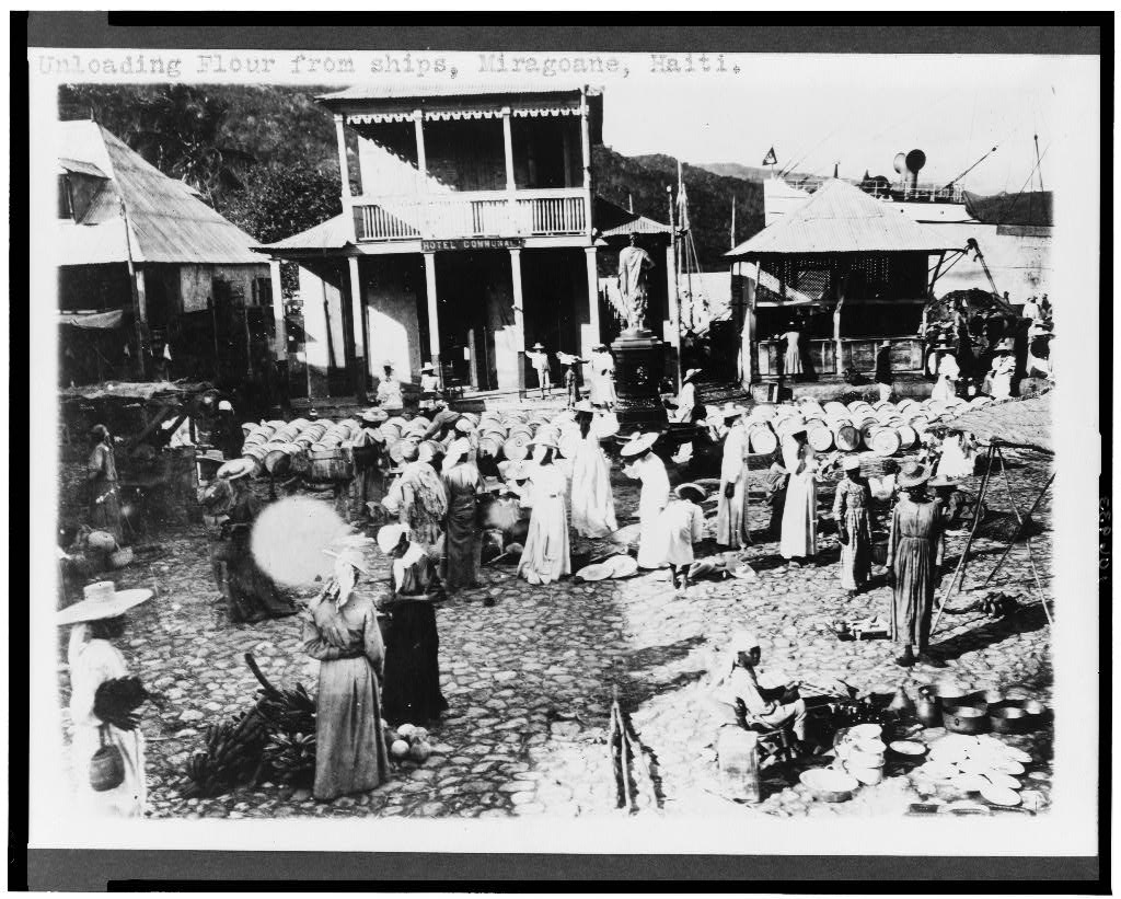
Miragoane
Haiti
Miragoane: facts
At a glance
- Country: Haiti
- Region: Nippes
- Administrative status: seat of a first-order administrative division (GeoNames code PPLA)
- Population: approximately 89,202
- Coordinates: 18.4460° N, 73.0896° W
- Time zone: America/Port-au-Prince (UTC-05:00 standard, UTC-04:00 daylight saving time)
- Currency: Gourde (HTG)
- Distance to the capital, Port-au-Prince: 80 km (50 mi), straight line
Getting there
- Antoine-Simon International Airport (CYA): 76 km (47 mi), straight line
- Toussaint Louverture International Airport (PAP): 85 km (53 mi), straight line
- Jérémie Airport (JEE): 116 km (72 mi), straight line
Nearby
- Yvon: 7.4 km (4.6 mi)
- Zabot: 21 km (13 mi)
- Yilier: 22 km (14 mi)
- Tigwav: 24 km (15 mi)
- Grangwav: 34 km (21 mi)
- Nearest place with over 100,000 inhabitants: Tigwav, 24 km (15 mi)
Sources
- Miragoâne
Map