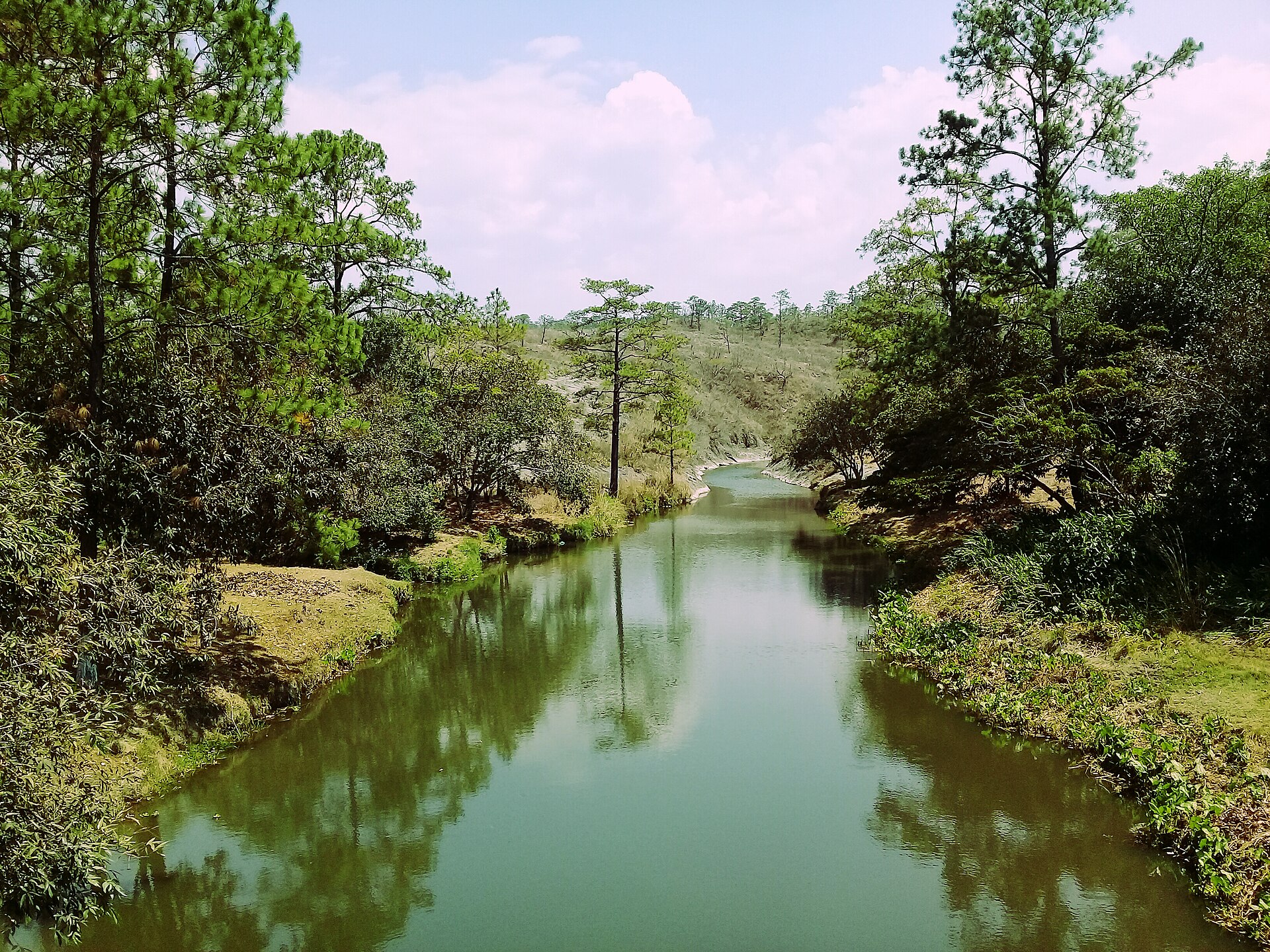
La Paz
Honduras
La Paz: facts
At a glance
- Country: Honduras
- Region: La Paz Department
- Administrative status: seat of a first-order administrative division (GeoNames code PPLA)
- Population: approximately 17,555
- Coordinates: 14.3212° N, 87.6759° W
- Time zone: America/Tegucigalpa (UTC-06:00)
- Currency: Lempira (HNL)
- Distance to the capital, Tegucigalpa: 57 km (36 mi), straight line
Getting there
- Palmerola International Airport (XPL): 9.0 km (5.6 mi), straight line
- Toncontín Airport (TGU): 57 km (36 mi), straight line
- Ramón Villeda Morales International Airport (SAP): 129 km (80 mi), straight line
Nearby
- Yarumela: 3.6 km (2.3 mi)
- Yampa: 6.6 km (4.1 mi)
- Villa de San Antonio: 6.7 km (4.2 mi)
- Comayagua: 15 km (10 mi)
- Yarales: 18 km (11 mi)
- Nearest place with over 100,000 inhabitants: Siguatepeque, 35 km (22 mi)
Sources
- La Paz, Honduras
Map