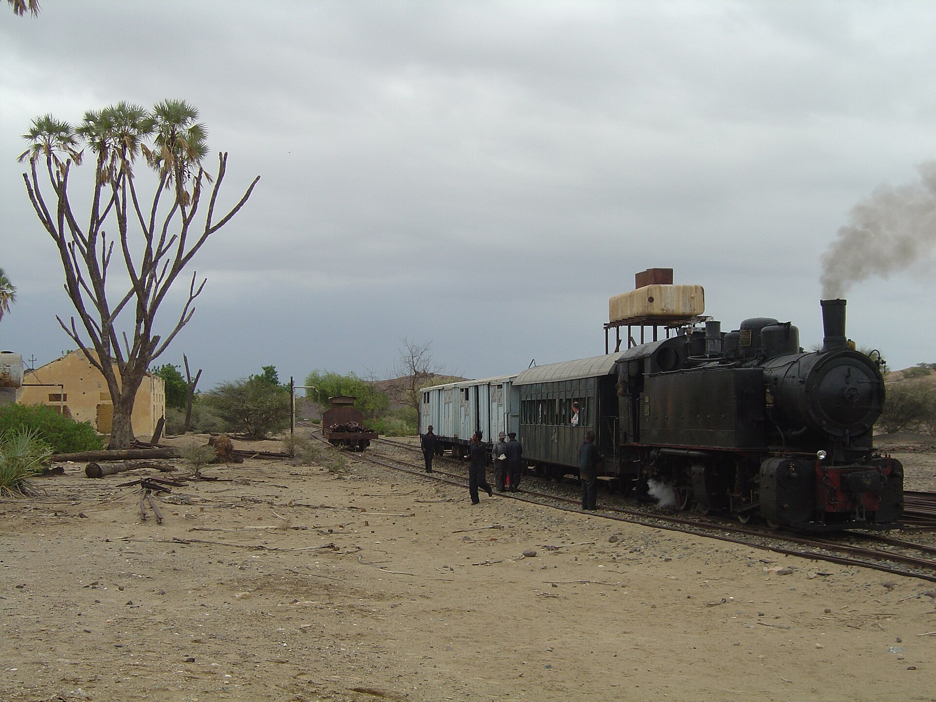
Saati
Eritrea
Saati: facts
At a glance
- Country: Eritrea
- Administrative status: populated place (GeoNames code PPL)
- Coordinates: 15.5793° N, 39.2560° E
- Time zone: Africa/Asmara (UTC+03:00)
- Currency: Nakfa (ERN)
- Distance to the capital, Asmara: 44 km (27 mi), straight line
Getting there
- Asmara International Airport (ASM): 49 km (30 mi), straight line
- Axum Airport (AXU, Ethiopia): 168 km (104 mi), straight line
- Shire Inda Selassie Airport (SHC, Ethiopia): 198 km (123 mi), straight line
Nearby
- May At'al: 2.1 km (1.3 mi)
- Mehatel Jebal: 7.4 km (4.6 mi)
- Gahtielay: 13 km (8 mi)
- Damas: 13 km (8 mi)
- Gumhod: 13 km (8 mi)
- Nearest place with over 100,000 inhabitants: Asmara, 44 km (27 mi)
Map