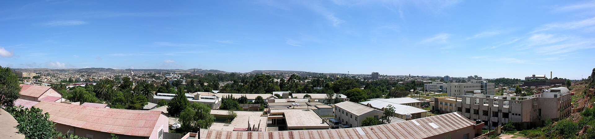
Da'iro P'awlos
Eritrea
Da'iro P'awlos: facts
At a glance
- Country: Eritrea
- Administrative status: populated place (GeoNames code PPL)
- Coordinates: 15.2779° N, 38.8684° E
- Time zone: Africa/Asmara (UTC+03:00)
- Currency: Nakfa (ERN)
- Distance to the capital, Asmara: 9.5 km (5.9 mi), straight line
Getting there
- Asmara International Airport (ASM): 4.8 km (3.0 mi), straight line
- Axum Airport (AXU, Ethiopia): 126 km (78 mi), straight line
- Shire Inda Selassie Airport (SHC, Ethiopia): 148 km (92 mi), straight line
Nearby
- Ts'e'ada: 3.8 km (2.3 mi)
- K'ushut: 4.6 km (2.8 mi)
- Misgwag: 4.9 km (3.0 mi)
- Kitmo Awli'i: 4.9 km (3.1 mi)
- Merhano: 6.2 km (3.9 mi)
- Nearest place with over 100,000 inhabitants: Asmara, 9.5 km (5.9 mi)
Map