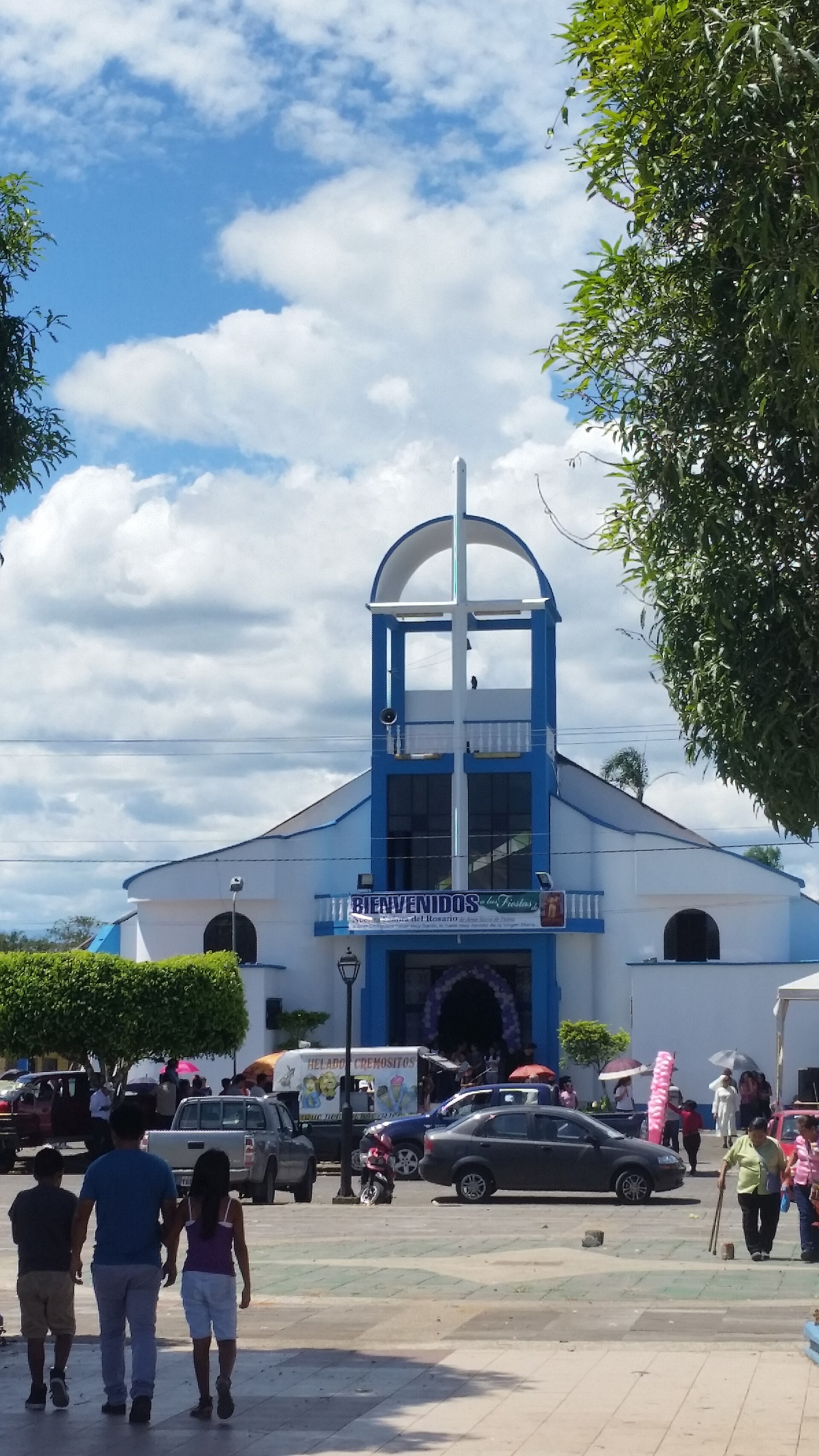
Palora
Ecuador
Palora: facts
At a glance
- Country: Ecuador
- Region: Morona-Santiago Province
- Administrative status: seat of a second-order administrative division (GeoNames code PPLA2)
- Population: approximately 6,472
- Coordinates: 1.7009° S, 77.9661° W
- Time zone: America/Guayaquil (UTC-05:00)
- Currency: Dollar (USD)
- Distance to the capital, Quito: 175 km (109 mi), straight line
Getting there
- Coronel E Carvajal Airport (XMS): 69 km (43 mi), straight line
- Cotopaxi International Airport (LTX): 114 km (71 mi), straight line
- Mariscal Lamar Airport (CUE): 174 km (108 mi), straight line
Nearby
- Madre Tierra: 19 km (12 mi)
- Veracruz: 22 km (13 mi)
- Puyo: 24 km (15 mi)
- Shell: 24 km (15 mi)
- Huamboya: 27 km (17 mi)
- Nearest place with over 100,000 inhabitants: Riobamba, 77 km (48 mi)
Sources
- Palora
Map