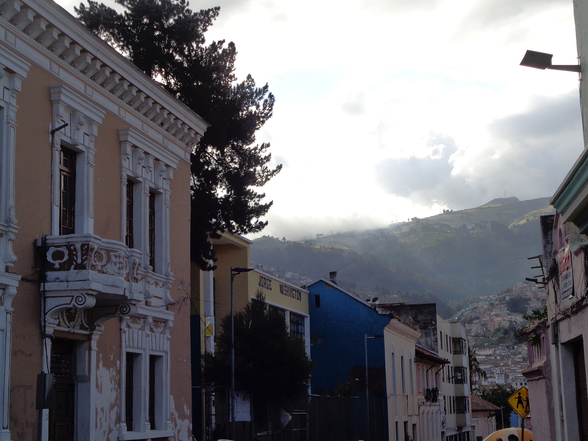
Rocafuerte
Ecuador
Rocafuerte: facts
At a glance
- Country: Ecuador
- Region: Manabí
- Administrative status: seat of a second-order administrative division (GeoNames code PPLA2)
- Population: approximately 10,274
- Coordinates: 0.9245° S, 80.4502° W
- Time zone: America/Guayaquil (UTC-05:00)
- Currency: Dollar (USD)
- Distance to the capital, Quito: 228 km (141 mi), straight line
Getting there
- Eloy Alfaro International Airport (MEC): 26 km (16 mi), straight line
- José Joaquín de Olmedo International Airport (GYE): 151 km (94 mi), straight line
- General Ulpiano Paez International Airport (SNC): 155 km (96 mi), straight line
Nearby
- Riochico: 8.7 km (5.4 mi)
- Tres Charcos: 9.8 km (6.1 mi)
- Charapoto: 11 km (7 mi)
- Picoaza: 13 km (8 mi)
- Portoviejo: 15 km (9 mi)
- Nearest place with over 100,000 inhabitants: Portoviejo, 15 km (9 mi)
Sources
- Rocafuerte
Map