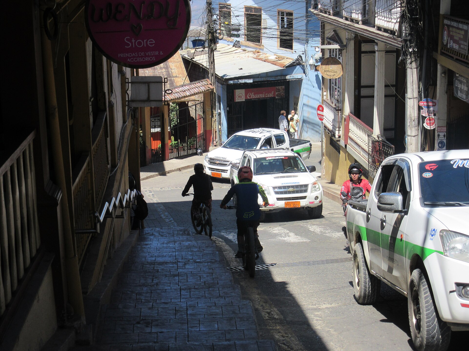
Zaruma
Ecuador
Zaruma: facts
At a glance
- Country: Ecuador
- Region: El Oro
- Administrative status: seat of a second-order administrative division (GeoNames code PPLA2)
- Population: approximately 12,505
- Coordinates: 3.6923° S, 79.6125° W
- Time zone: America/Guayaquil (UTC-05:00)
- Currency: Dollar (USD)
- Distance to the capital, Quito: 404 km (251 mi), straight line
Getting there
- Ciudad de Catamayo Airport (LOH): 43 km (27 mi), straight line
- Santa Rosa - Artillery Colonel Victor Larrea International Airport (ETR): 51 km (32 mi), straight line
- Captain Pedro Canga Rodríguez International Airport (TBP, Peru): 87 km (54 mi), straight line
Nearby
- Portovelo: 2.7 km (1.7 mi)
- Malvas: 4.0 km (2.5 mi)
- Sinsao: 4.6 km (2.8 mi)
- Arcapamba: 4.9 km (3.1 mi)
- Zarumaurcu: 5.0 km (3.1 mi)
- Nearest place with over 100,000 inhabitants: Loja, 56 km (35 mi)
Sources
- Zaruma
Map