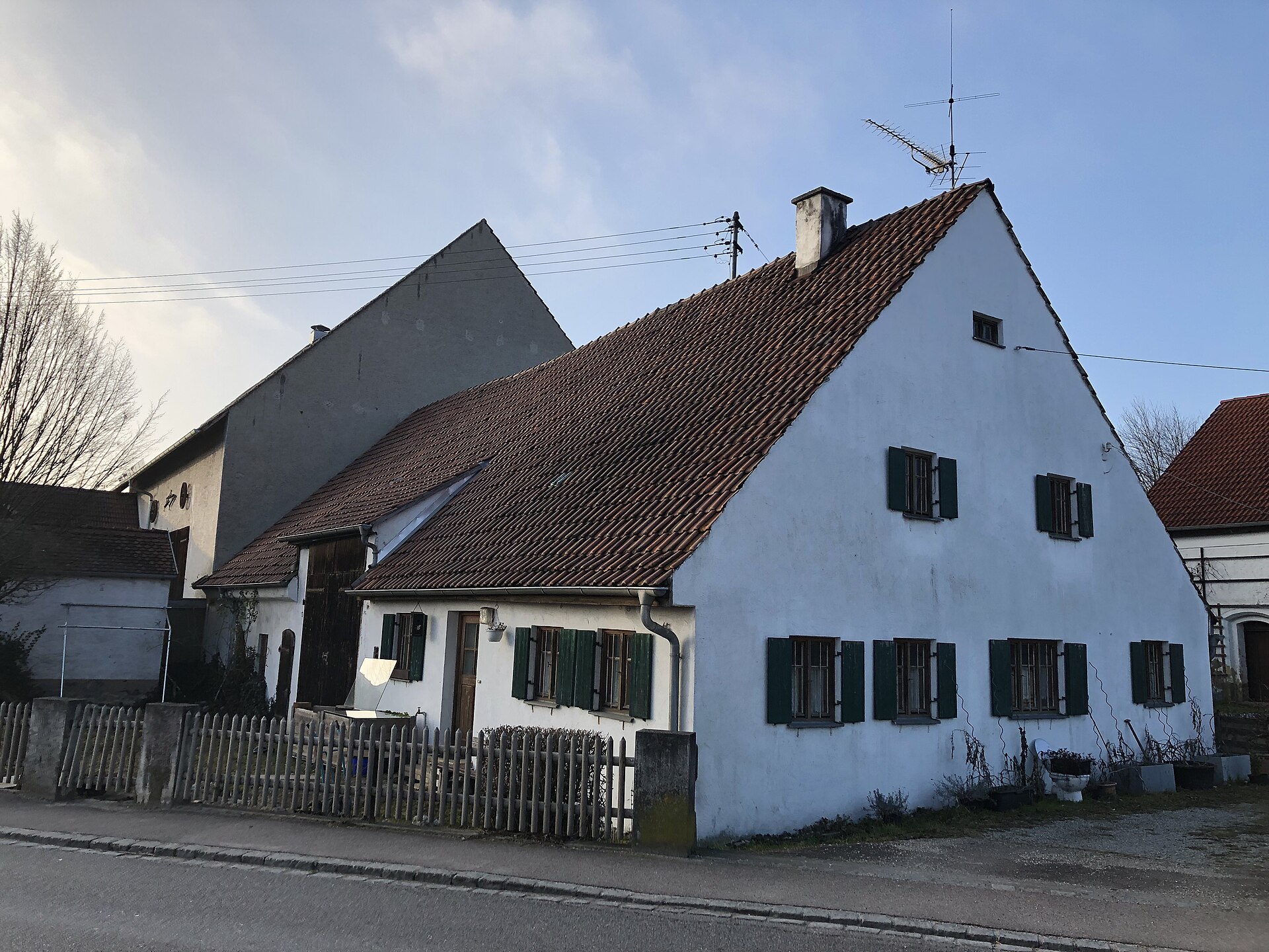
Rohrenfels
Germany
Rohrenfels: facts
At a glance
- Country: Germany
- Region: Bavaria
- Administrative status: seat of a fourth-order administrative division (GeoNames code PPLA4)
- Population: approximately 1,489
- Coordinates: 48.6865° N, 11.1562° E
- Time zone: Europe/Berlin (UTC+01:00 standard, UTC+02:00 daylight saving time)
- Currency: Euro (EUR)
- Distance to the capital, Berlin: 455 km (283 mi), straight line
Getting there
- Munich Airport (MUC): 59 km (37 mi), straight line
- Nuremberg Airport (NUE): 90 km (56 mi), straight line
- Memmingen Allgau Airport (FMM): 103 km (64 mi), straight line
Nearby
- Oberhausen: 5.1 km (3.2 mi)
- Neuburg an der Donau: 5.6 km (3.5 mi)
- Ehekirchen: 7.2 km (4.5 mi)
- Berg im Gau: 9.1 km (5.6 mi)
- Karlshuld: 9.5 km (5.9 mi)
- Nearest place with over 100,000 inhabitants: Ingolstadt, 21 km (13 mi)
Sources
- Rohrenfels
Coming up in Rohrenfels
- 11 Nov 2026: St. Martin's Day
- 15 Nov 2026: National Day of Mourning
- 18 Nov 2026: Repentance Day (Saxony)
- 22 Nov 2026: Sunday of the Dead
- 29 Nov 2026: First Advent Sunday
- 6 Dec 2026: Saint Nicholas Day
- 6 Dec 2026: Second Advent Sunday
- 13 Dec 2026: Third Advent Sunday
Map