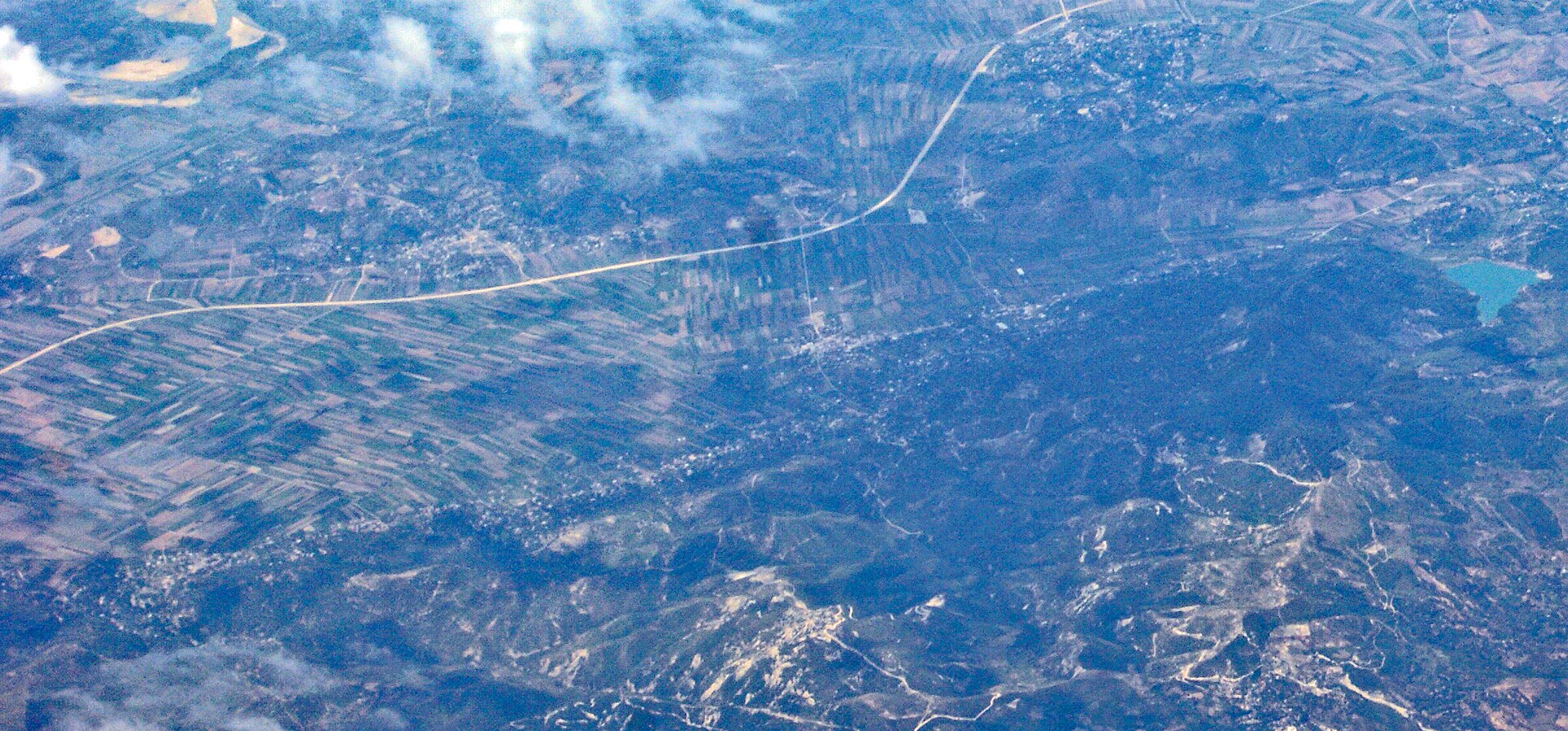
Cakran
Albania
Cakran: facts
At a glance
- Country: Albania
- Region: Fier County
- Administrative status: seat of a third-order administrative division (GeoNames code PPLA3)
- Coordinates: 40.6033° N, 19.6261° E
- Time zone: Europe/Tirane (UTC+01:00 standard, UTC+02:00 daylight saving time)
- Currency: Lek (ALL)
- Distance to the capital, Tirana: 82 km (51 mi), straight line
Getting there
- Tirana International Airport Mother Teresa (TIA): 91 km (56 mi), straight line
- Ohrid St. Paul the Apostle Airport (OHD, North Macedonia): 114 km (71 mi), straight line
- Corfu Ioannis Kapodistrias International Airport (CFU, Greece): 114 km (71 mi), straight line
Nearby
- Patos Fshat: 4.9 km (3.0 mi)
- Drenove: 6.3 km (3.9 mi)
- Armen: 7.9 km (4.9 mi)
- Selenice: 8.1 km (5.1 mi)
- Patos: 8.9 km (5.5 mi)
- Nearest place with over 100,000 inhabitants: Vlore, 19 km (12 mi)
Sources
- Cakran
Map